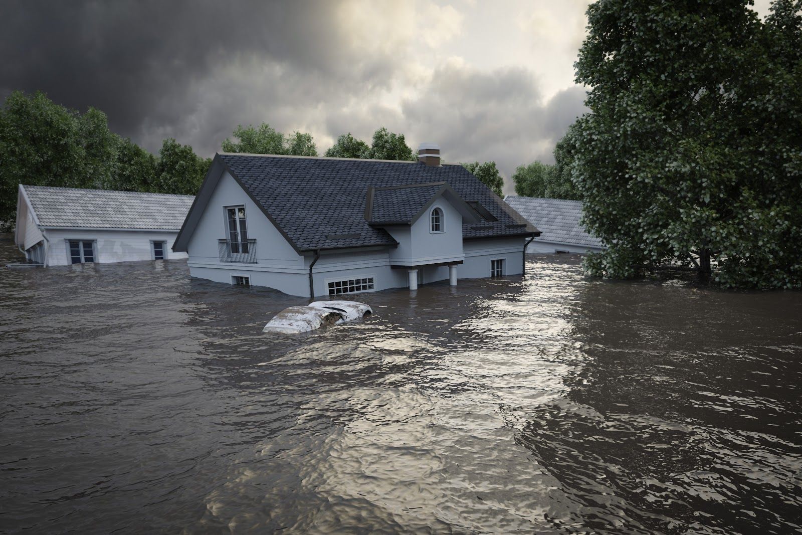
Coastal Lands Sinking, Sea Levels Rising Faster
Many coastal lands are sinking, while the sea level is rising four times faster than predicted. Nowadays, 58% of the global coastal communities are at risk of coastal flooding.

With the urban expansion and industrial development, many coastal lands are sinking, while the sea level is rising four times faster than predicted. Nowadays, 58% of the global coastal communities are at risk of coastal flooding.
In highly populated or developed coastal areas, the land is increasingly subsiding and the sea-level rise has now reached between 7.8 to 9.9 mm annually, according to new research. This is 3-4 times higher than the average rise of 2.6 mm per year previously reported by the Intergovernmental Panel on Climate Change (IPCC).
This rapid increase is a result of two main factors: climate change and land subsidence due to human activities. Climate change elevates the sea level through thermal expansion of water resulting from rising global temperatures, as well as melting glaciers.
Land subsidence is a gradual settling or sudden sinking of the Earth’s surface. Rapid rates of subsidence in deltas and large cities on deltas are caused by urban expansion and industrial activities like groundwater pumping, oil and gas extraction, sand extraction, mining, and fracking.
A recent study of the San Francisco Bay Area, has shown that the massive weight of the city infrastructure, as well as groundwater pumping, erosion, earthquakes, and heavy rainfall are making the region sink progressively lower. Meanwhile, the coastal water level is continuously increasing, accelerating the risks of coastal flooding. The study concludes San Francisco has already sunk by at least 80 mm, while the local sea level is expected to rise as much as 200-300 mm by 2050, depending on different scenarios of climate change.
Many urban areas around the world are facing similar challenges and the threat of coastal flooding is getting more significant. To help the coastal communities mitigate these risks, Augurisk has developed a Coastal Flooding Risk Assessment. Just fill in your home or business address to find out how the sea level rise will affect your area.
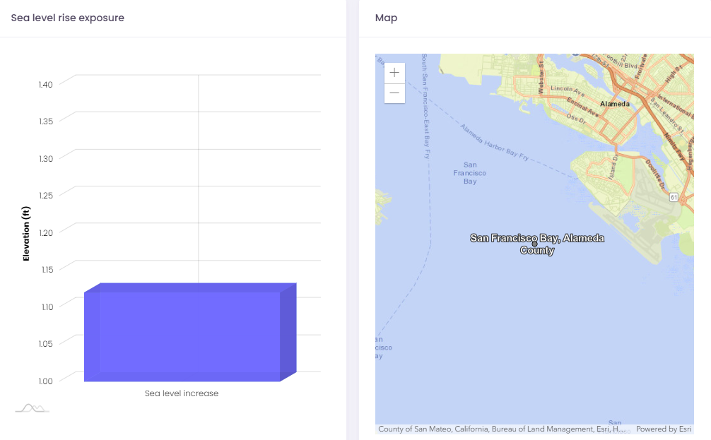
The Augurisk Coastal Flooding Hazard index is based on three components: the mean elevation of your block, the expected sea level rise in your area, and your exposure to hurricanes. You can also assess your risks from other natural hazards like storms, wildfires, and earthquakes.